


Riding The Edge Of Ontario
How A Tourism Board Goes The Extra Mile for Riders


These days, every tourism board and region under the sun seems to have a route designed for motorcycle riders. That’s a good thing – but do all of them really go the extra mile for the rider? Or are they just taking a shortcut to get motorcyclists to plop down their hard-earned cash at motels, restaurants and gas stations?
While I can’t speak for all of the boards, I know the tourist board covering the Explorer’s Edge region of Ontario is paying more than lip service to the notion of a great ride because – at the beginning of the year, every year – they pay me to ride their routes, making sure all their recommended roads are clear and ready for motorcyclists. If you haven’t visited the Ride the Edge section of the Explorer’s Edge website, I’d encourage you to check it out since it’s pretty much how I start my riding year.
My personal rides are often confined to my home province of Ontario and sometimes the border provinces and states, making me quite familiar with the area. However, for the reasons above, this ride has to be done as soon as the snow is off the roads. So, I’m certain to encounter salt, sand, wet and cold to contend with. It’s a dirty job, but someone’s got to do it.
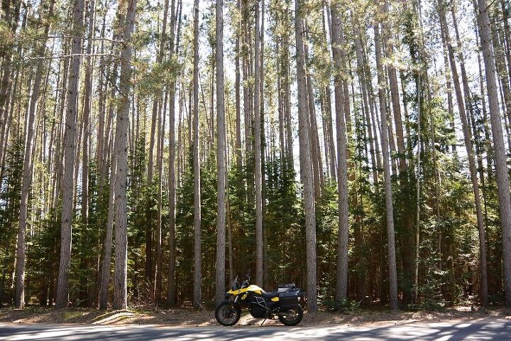
The roads I’m tasked with riding criss-cross Muskoka, an area internationally known as the center of Ontario’s cottage country because of its great beauty, relative closeness to Toronto (which is only about two hours away), and abundance of lodging options. Muskoka is defined as roughly the space between the Algonquin Provincial Park and the shores of Georgian Bay on the eastern edge of Lake Huron. The roads wind their way in and out of the hills surrounding Lake Muskoka and the multitude of others that dot the area.
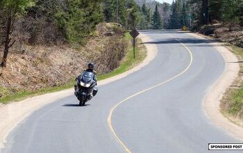
I start with one of the area’s more iconic roads – Southwood. It’s a true old-school backroad that has some amazing curves and elevation changes, but it wasn’t built to the same standard as modern highways. Consequently, I’m always on the lookout for frost heaves. Last year, it had some really chewed up segments around the railway crossings. I’d say that, throughout the entire province, slowing way the hell down for rail crossings is a brilliant idea.
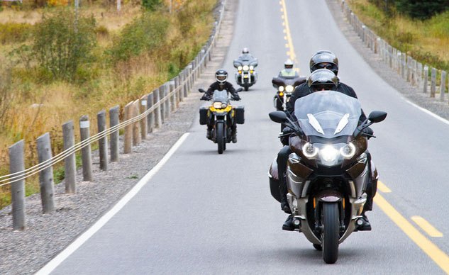
Weaving my way through Muskoka, I take in a dense variety of roads listed as Ride the Edge’s top ten: Tally-Ho Swords, Ravenscliffe, Aspdin – they’re all in good shape and remain on the route for another year. Highway 141 blows my mind (and the limiter on the bike) as I hit maximum lean just before the cliffs and water around Lake Rosseau.
Unfortunately, I discovered that Highway 518 has been a little chewed up by the winter and has way too much sand on it for my comfort levels. I make a note for the powers that be so that they can get word to the community road works. Hopefully, they can clean the sand off the road before we get into the thick of motorcycle season.
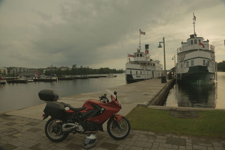
Further North into the Loring Restoule area, the northern tip of Explorers’ Edge region and Ontario’s cottage country, I’m taken to one of my personal favorites, Highway 522. There isn’t a whole lot of stuff on this highway – which is great. You can just focus on the ride and the scenery. About 90% of the road is in tip top shape with long sweepers and gentle rolling hills through pristine motorcycle country.
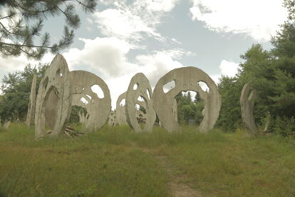
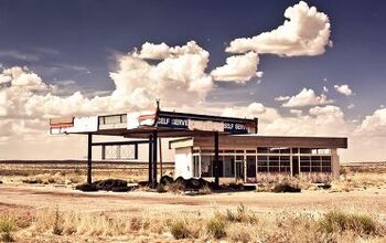
Next, I dip down into the town of Burk’s Falls for a quick visit to the “Screaming Heads” a.k.a. Midtholian Castle, located just to the west. If you haven’t taken in this vast art installation in the woods, this must-visit attraction is free for all visitors and even hosts a farmer’s market on Saturdays. Don’t forget to spend some time in Burk’s Falls, too. It has a great small-town vibe plus restaurants and gas stations.

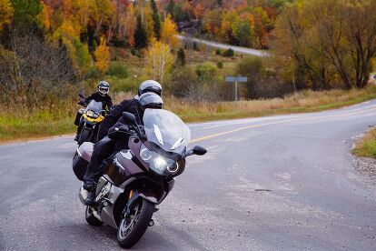
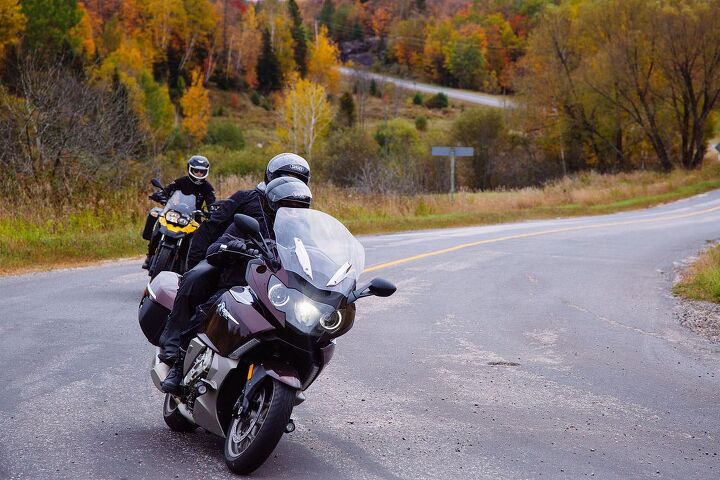
The final leg of my annual checkup on these roads winds through Algonquin Park and then back into the heart of cottage country passing Dorset plus the amazing Highway 35 and 118. Algonquin is quiet as it’s a weekday outside of tourist season, and the sky is killer blue. Unfortunately, it’s about 5ºC (41ºF) out, and I have to sing in my helmet to keep my teeth from chattering. I have heated hand grips, but my waxed cotton jacket keeps the chill restricted to my denim.

The majestic winding roads of Algonquin and Dorset at Highway 35 are the perfect way to end this check up, and winter has been merciful with the asphalt here.
Throughout the entire check, only two roads needed to be removed from the main routes. The first is Southwood. Even though they’ve been adding new asphalt on a regular basis, and it has some of the tightest turns in the province – stuff the sports touring (or just plain sports) crowd would love – the road is just too ragged and dirty. The second road marked for removal made it back onto the route before the riding season began in earnest after a heavy rainfall cleared off most of the sand.
Rest assured, though, that this is no flash in the pan effort from Explorers’ Edge. Just like in previous years, I’ll be back out there this May (or April depending on El Niño!) checking their top 10 roads and routes all over again!
For a complete touring map of the region, visit RideTheEdge.ca – for everything about touring in Ontario, visit OntarioTravel.net.
More by Mike Jacobs


![Riding on the Edge – Dirt Biking Along a Mountain Ridge [Video]](https://cdn-fastly.motorcycle.com/media/2023/05/07/11560855/riding-on-the-edge-dirt-biking-along-a-mountain-ridge-video.jpg?size=350x220)


Comments
Join the conversation